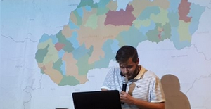

1st.place
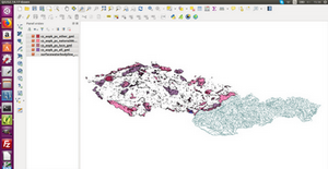
Light pollution
Light pollution modeling of selected region based on EU DEM (Copernicus Land service) and selected OSM building types. Modeling was based on multisource Viewshed analysis with light source height and view distance defined.
Peter Pastorek, Martin Galis, Jozef Novacek
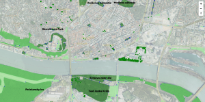
2nd.place

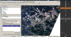
Terra Cognita
AI powered system to help landowners utilize their parcels based on Copernicus satellite data. Data can be also used for urban planning, spatial planning and strategic planning.
Andrej Petrinec, Martin Hrabovec
Special sobloo price
Get all from INSPIRE Geoportal
Goal of the project was to check the actual availability of the downloadable datasets, provide an automatic procedure to download all INSPIRE priority datasets available for a country, download all datasets available from INSPIRE Geoportal Catalogue service and support the visualisation of the data, including the possible combination with the Copernicus data resources.
Boris Kruzliak, Tomas Kliment
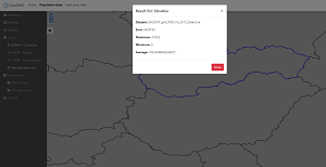
GeoCloud RGB
Project was focused on testing of the ONDA DIAS platform with aim to create a cloud freee mosaic dataset and service from S2MI2A products.
Jakub Kocica, Tomas Kliment